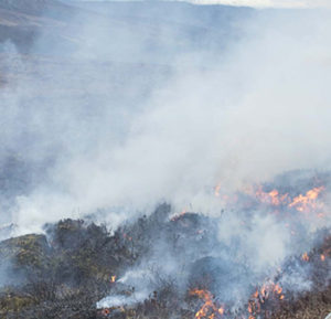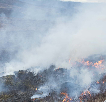
The lack of active land management, including “controlled burning and mowing”, contributed to the severity of last year’s Llantysilio mountain wildfire, according to findings from a recent report.
The 63-page report on the Llantysilio mountain wildfire that ravaged over 290 hectares of uplands for over a month last year gave several recommendations on reducing the risk of wildfires in the future.
The report concluded: “The lack of robust land management over an extended period of time on the mountain contributed towards the length of time the fire burned and the devastation it caused. Therefore, a regular programme of land management activities is crucial if the risk of extensive environmental and economic damage from similar fires is to be lessened in future.”
Within the report Natural Resources Wales cited the neighbouring grouse moor, Ruabon Moor, “as a local example of a moorland which is effectively managed by rotational small patch burning and mowing.”
Denbighshire’s Countryside Services commented on the severity of the wildfire saying, “in places it would take years to restore as the soil structure and seed stock has been destroyed”, and there was a risk that “further soil would be lost through the effects of wind and water run-off”.
BASC Wales Director, Steve Griffiths, said:
“The Llantysilio wildfire is another example of what happens when our uplands are left unmanaged. The damage from this wildfire will take years to recover from and will have far reaching effects on the local community.
“With the number and severity of wildfires growing annually in the UK, it is essential that land management is actively undertaken, and stakeholder partnerships are enhanced to avoid further disasters.
“Rotational burning is one such management technique that has been proven to lower the risk of wildfires by reducing the fuel load and creating firebreaks. Landowners and farmers require the ability and assistance from statutory agencies to ensure wildfire risk remains at a satisfactory level.”
Notes to Editors:
The report commissioned by Denbighshire County Council’s Communities Scrutiny Committee is due to be heard at a meeting on 5th September. The report published on 29th August can be found here.
250 hectares of the wildfire was within the 1150 hectare Ruabon/Llantysilio Mountains and Minera Grassland Site of Special Scientific Interest (SSSI), designated such for its upland heath and blanket bog communities alongside its assemblage of upland breeding birds including a nationally important breeding population of black grouse and curlew.
Coverage on the wildfire in 2018 can be found here.
ENDS
